
June 21, 2017– Navionics has released significant chart updates for waters in and around Bermuda. The new cartography provides numerous navigational objects, improved contour detail, and more, such as America’s Cup event-related content.
The Bermuda enhancements are part of Navionics ongoing global efforts to update charts with detail from the most current sources. Recent surveys and extensive research yielded a great deal of new content, such as navigational buoys, ferry routes, more than 3,000 obstructions and 200 new objects, including anchorage areas, beacons, buoys, mooring facilities, restricted areas and wrecks. In addition, the many coral reef barriers are now displayed in green for improved visibility and safer boating.
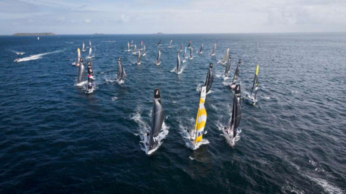
America’s Cup event content includes special anchorage areas for visitors, practice areas, race courses and spectator zones. One of the surveys targeted the entirety of Great Sound, where most of the races take place, to produce new 0.5 m HD contours.
To get up-to-date content for Bermuda or any body of water, boaters can update their plotter charts via a simple download from navionics.com. On mobile, customers with an active chart updates subscription can simply update their charts. Others can download the free version of Boating App for a two-week trial.


