
We had been four months cruising the Queensland coast and, being October, were making our way south. Northerlies are usually expected in the last three months of the year, which allows visiting cruisers to escape the cyclone belt and the building tropical heat.
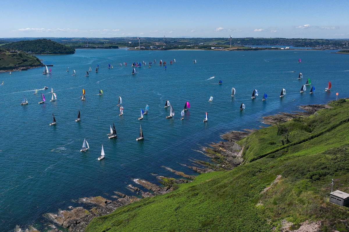
A great stop-off point, on the southern migration, in northerly weather is Long Beach at Great Keppel Island. It is well protected, has great scenery, holding is adequate and, in contrast to the rolly anchorages which often occur in dominant SE weather around the Keppels, Long Beach is very comfortable.
After a few days sharing Long Beach with an ever-growing flotilla of fellow cruisers, our plan was for a midnight departure, so as to arrive at Pancake Creek around 12 hours later to take the high tide across a reef into the inner anchorage. Huey had other ideas.
By late afternoon on the day of departure, it was apparent “the chance of a thunderstorm” was morphing into a likely thunderstorm, with a substantial build-up of clouds across the hinterland. In this part of the world, thunderstorms often result in a squall from the south west, which backs and eases into the south east as the storm system passes out to sea.
One of the handy aspects of Long Beach is good internet connectivity. This allowed many in the anchorage to monitor the weather situation, in particular the Bureau of Meteorology’s radar.
In case things went askew weatherwise, we had an early dinner and watched developments. At last light, around 6.30pm, it looked like the storm cells would pass either side of the anchorage. Fast forward 15 minutes and the cells had changed direction and looked to converge over the anchorage.
Around the same time, we received information from a friend who was anchored in The Narrows, 25 nautical miles to the south, that the same weather system was delivering a southerly wind gusting to 45 knots.
What to do? We knew that our boat, Joule, has above-specification anchor and chain and the anchor was well dug in. We were also in about the third rank of about five rows of boats off the beach, so we had ample sea room.
But our concerns were twofold. Firstly, Long Beach is great in a northerly but you certainly do not want to be there in a southerly change. Secondly, the anchorage was filling up, with some anchoring quite close to other boats. There was some risk with this in the likely event of a storm or sudden adverse change in the weather. Further, some of these boats near us had light ground tackle and, in order to fit into the anchorage, had deployed less chain than good seamanship may deem prudent.
By 6.55pm, our midnight departure had been brought forward somewhat. We made what we considered was the best decision for us to retrieve our ground tackle and we motored SW to gain sea room and clear the anchorage.
Seven minutes later, just as we cleared the anchorage, the thunder cell hit. It blew hard, gusting to 39 knots SW for about 15 minutes, visibility was down to a boat length at times, in driving rain. Lightning illuminated Monkey Point, as we cleared GKI. The cell cleared after half an hour or so and, as expected, the wind backed into the south then progressively into the south east; right in the direction we wanted to go to: Pancake Creek.
Continuing SSE under engine for two hours, we found ourselves at the pilot ground for Port Alma, the notional port for Rockhampton and, with around one ship arrival a week, has become a bit of a backwater. It is also located within the vast Fitzroy River delta.
Unfortunately, by the time we reached the pilot grounds, 3.3 metres of water was in full stream exiting the said delta. By this time, the breeze had turned NE at about 10kn to 15kn, which with residual slop was creating quite a washing machine effect against 2.5 knots of tide.
When we reached the expected shelter of our proposed overnight anchorage at Sea Hill Point the wind had backed further to the NW, which meant a lee shore. Coupled with the outgoing tide, waves were around a metre high and many were breaking. That clearly was not going to be our overnight anchorage.
Consulting ‘Patrick’, the cruising bible for this part of the coast (see breakout box), we could see several creeks designated as anchorages along the western shore of Curtis Island. These creeks, at least at night time, are fairly tight according to the ‘father figure’ of the VMR, Jim. Maria Creek is the best of them.
Even though our need for beauty sleep was real, we really had no option but to continue up the inlet between Curtis Island and the mainland, this was our welcome to The Narrows.
Narrow minded
At 0100, we finally anchored at S23°36.63 E151°02.52. This little journey of 28nm, which was closer to 34nm through the water, had violated three of our flexible rules:
-
don’t go to windward – we are cruisers
-
try not to push tide – why go uphill, if you don’t have to
-
don’t do night passages if you can help it, particularly in areas that have restrictions caused by shifting navigation hazards, such as mud banks, on a falling tide.
Our overnight anchorage had us about half a mile short of the low tide navigable northern limit of The Narrows. Beyond this point, until deeper water is encountered about 6nm further on and aside from one deepish hole, the area is shoal, with the shallowest area of the transit being 2.5 metres above chart datum.
This negative 2.5m depth is what had, until now, freaked me out. Particularly when Gladstone only has two daytime high tides in the month we made the transit that would allow us with our modest 1.6m draft to scrape through. Hardly encouraging stuff. The thought of spending however many hours being on our side with a very unhappy first mate really did not endear me to rolling this dice.
This is where it gets interesting. The Narrows are midway between Gladstone and Port Alma. While Gladstone only had two theoretically high tides in that month to get through, Port Alma has nearly thirty! This can explain why, on the right spring tide, vessels drawing 2.5m can transit The Narrows without the need to install wheels on the keel.
When we arrived at the overnight anchorage, there were three vessels anchored at the crossover anchorage. These were the cruisers that had let us know about the 45 knot southerly. Rangoon was one of this flotilla, we had shared sundowners, walks ashore and passages with Norbert on the way down the coast. He had been through this channel “too many years ago”.
The next morning, Norbert and the others went through at the top of a 3.39m tide and, with Rangoon’s 1.5m draft, had a minimum clearance of 0.3m.
We had a relaxing day and then, with a 3.76m tide just on dark that evening, we went through with three catamarans, Vivacious, Misbehavin and Chances. It is not really reassuring as a mono going with catamarans because you just know that if the worst happens and you take the bottom: they draw less, they won’t fall over on an outgoing tide and if you need a tow, they don’t have the thrust to drag you to whereever the deeper water might be!
Anyway, using a combination of Navionics on the ipad, Patrick’s commentary with his detailed ‘mud-maps’, our aged chartplotter and our eyeballs, we successfully transitted The Narrows. We left our anchorage at 1.75 hours prior to high tide, crossed the negative 2.5m really shallow bit about an hour before high tide and made it through to the sublime Black Swan Bay and anchored in fading light.
The minimum depth we encountered was 2.2m, adjacent Monte Christo Creek.
Looking at Patrick and based upon our observations, the trick is to calculate, say, a 25% increment on the Gladstone ‘non-neap’ high tides. Looking at our month of transit, there were nearly 20 daytime high tides that would theoretically allow a vessel of 2m draft to satisfactorily make the transit.
Just one recommendation, really cover up for protection against mozzies and sandflies, they can be savage, particularly dawn and dusk.
It is worth reading Noel Patrick’s detailed comments about the transit. He is quite specific about the location of hazards such as rocks and coral, as well as the recommended distance to be clear of a particular navigation beacon and other features. At around $75.00 the book is a wise investment for any vessels transiting this coast.
Do not get me wrong, Alan Lucas’ legendary ‘Cruising the Coral Coast’ is great, but it just does not have the level of detail required to find many of the anchorages, which are well covered by Patrick.
Glad to be here
After the remoteness of much of the coast south of Mackay, the transition when you enter the southern part of The Narrows is stark. Gladstone, a city with a population over 60,000, is one of Australia’s true engine rooms. The Port of Gladstone is Queensland’s largest multi-commodity port, handling 30 different products with a throughput of more than one millon tonnes per annum. As a consequence, it requires all vessels greater than ten metres length overall to report movements via VHF when within Gladstone’s port limits.
As a word of caution, this extends well offshore in the ship’s anchorage, so vessels bypassing Gladstone may need to call in.
Gladstone Ports Corporation (GPC) takes its obligations as a ‘corporate citizen’ seriously. At Auckland Creek, the foreshore on the eastern side of the city’s entry waterway is stunning. GPC has invested $42 million to create the East Shores Precinct, the centrepiece being HMAS Gladstone, which is cantilevered over Auckland Creek.
While mooring piles can be taken in Auckland Creek and there are some swing moorings in the marina basin, GPC’s fees for casual visitors would have to be close to the most affordable on Australia’s east coast. As an example, at $39 per night for a 12m mono, it is almost half of what you would expect at Airlie Beach.
Gladstone Marina also currently offer a 10% discount for Vice Commodores of Shag Islet Cruising Yacht Club, the ‘Shaggers’ organisation should need no introduction to regular readers.
With laundry and bathroom facilities, a competitively priced fuel wharf and the CBD less than a half hour walk away, Gladstone Marina is a great place to reprovision and generally tidy your pride and joy. The marina also provides a courtesy drop-off/collection service to a couple of shopping centres.
When we were there, we garnered together a group of about 20 cruisers for a fun dinner at the Port Curtis Sailing Club. PCSC, alternatively known as Gladstone YC, situated on the southern CBD side of Auckland Creek, is very welcoming to visiting cruisers. With a 15 minute leisurely walk from the marina, it provides a good way to walk off dinner on the return back to your berth.
One wharf, which can accommodate four coal ships concurrently, is located just to the north of the marina boat harbour. In prevailing SE winds any dust blows away but, in the unlikely event of wind from the opposite direction, coal dust can be problematic. In the calm conditions we encountered in our stay, there was not any apparent evidence of any issues.
After a leisurely couple of days there, with a favourable forecast, we awaited the top of the tide and were carried, at about 2.5 knots, down the Auckland Channel.
The first set of wharves you encounter are the Auckland Point wharves. They are Gladstone’s original wharves, originally used for handling livestock, coal and calcite, but now used for containerisation of mainly agricultural exports such as chickpeas; plus a cruise ship industry which started in 2016.
With the outgoing tide, you are quickly carried past the various wharves and soon find yourself at the harbour entry. While it is a busy port and the strong tidal streams can provide added entertainment there is plenty of room outside the navigation channels. The outer cutting through the sandbanks, about 16nm to the seaward side of the main South Channel, should see you out of there in well under three hours.
From there, Pancake Creek, our planned destination four days earlier, is now only 13nm away. A lovely day sail!
On this leg, we were able to rest the iron topsail and get some sailing in. There is also another factor to consider: if you are planning on leaving Keppel in a northerly, well, Pancake is a lee shore.
So really, unless you want to press on another ten or so hours to Bundy, the most practicable option is to go via The Narrows.
At Pancake, GBRMPA have recently installed five of the southernmost courtesy moorings. That is a story for another day.
The detour clearly took longer but, after tossing around on much of the Queensland coast, the detour via the Narrows provides smooth water and further helps to break some of the longer passages of the southern migration into smaller, bite-sized chunks.
It may well become our preferred route when heading south in the future. ≈


