
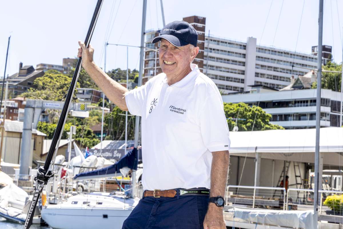
Jon Sanders is on his way back to Australia on his 10th circumnavigation of the globe. As always, his insights into the places he visits are priceless.
Now Tahiti.
A lot of years back France resumed underground nuclear testing at Mururoa Atoll approx 450 to 500 N Miles south-south east of the track I took thru the northern portion of the Tuamotu Archipelago.
The amicable Polynesians rioted.
The headline in the “West Australian” newspaper (home) read “something in Paradise”. (I think “Chaos in Paradise”).
It worked, France brought the testing to a finish sooner.
So here I am in Paradise.
Kelly reckons she wants to visit paradise.
I think the Polynesians – French word, are fortunate to have the French umbrella. I. E. Their own local government. Standard of living. Health. Navy to patrol huge 5. Archipelago from foreign fishing. European access. EU passport and so on.
The obvious thing about navigating the tricky Tuamotu region or arriving at destination is 100% chance it will be one of two things.
It will be night time, or it will be day time.
I jagged it this time. Black as night. Because it was. Passing through the currents of the narrower channels of the Tuamotu's. “The Low Archipelago”. “The Dangerous Archipelago”.
Lot of 25 knot dead – dead down wind. One hopes the wind vane self steerer doesn't lose concentration (I wouldn't of course) and gybe the yacht.
It actually never has in fresh or strong winds. Plus when there is a sudden wind change, (one can get in rain squalls). It adjusts immediately. Electronic does not.
Anyway the wind was fresh. Seemed I would get to Papeete (Capital of French Polynesia) Tahiti sooner than later. “Day time”.
Not to be.
50 NM from destination huge bank of cloud in the west. Me going west.
40 NM to go I fetch a front line wind. 25 knot west wind. Head wind. Plus downpour type rain. Followed by not much wind and drenching rain.
Motor sailing to windward. Electric tiller pilot on. Squalls now and again. And “not much wind” lots of rain. Stymied my idea of day time. Bummer.
Docked Town Marina soon after 11pm – still raining.
Not before docking on the military dock. Didn't know. Soon did. Oops. Bad and naughty Jon.
Next morning, without rain, 6-30am I motored 5 NM inside the fringe reef to Taina Marina. Passing on route the Tahiti airport air strip. (Juts into the ocean).
One must stop, call up Port Control on Ch. 12 and ask permission to proceed. (Given).
Suppose it is better than knocking the B&G instruments on top of my mast off on a Boeing 737. (Or Airbus, that's French – sort of).
Port Controls monitor Ch. 12 most ports about the world.
Here it was Polynesian chaps on the VHF with clear understandable English.
When I was first approaching Tahiti they came back immediately pronouncing Perie Banou exactly. No where else has done that. My guess they were following on AIS.
Kelly Scott RPYC ( Hi Kelly) – my boss! Does an excellent job booking and advising my arrivals.
Nearing the Marina, still early, a Marina “follow Boat” was out there waiting just for me. How did they know I was coming? AIS? Listen to the Port Authority ch 12 when one calls re runway? Or Port Authority rang? Whatever – they were waiting.
I was looking forward to an early morning shore type meal.
Well and truly bored with what is left on board.
At one end of the Marina is a beautifully located restaurant. Opens early. Garden seating to their style. Looks out over the lagoon.
Wonderful.
The name of the restaurant?
McDonalds.
At the other end of the Marina plus a 5 minute walk is a super good Carrefour Supermarket.
The Polynesians learn English at school. Polynesian accent (I suspect bit of Australian NZ there). Easy to understand.
French unlike their German neighbours struggle with English.
As for myself, I get a fail with French. Even though I try.
Paul Stratfold on the other hand has a natural ear for languages. Genetic I suppose. 50 to 60% Spanish and better with French. (Easier).
It is helpful being with him in French or Spanish speaking places.
So I arrive Taina Marina next to McDonalds, on Saturday morning. Surprisingly it is Sunday next day. Marina office to check in closed. And don't bother to catch a bus into Papeete to check into Customs and immigration police because it is the weekend – silly.
Go Monday, that was the advice.
Did that.
Quite right re Customs /Douane.
Wrong immigration.
Now required to do immigration same day of arrival at the airport.
But the immigration officer was helpful. He's Polynesian. Two stripes on his shoulder.
” I think we better make your arrival today”. It is as well you are using your EU passport. (My mother's parents were Irish).
The Customs- Douane was a Frenchman from Guadeloupe (can't remember how to spell that) He too was A1. He did all the writing for me.
When we finished all my documentation he showed on his computer what he really does.
Using long range fat looking short pilotless aircraft – he plots (probably all) fishing vessels across the Southern Pacific. Each white dot was a fishing vessel. When he expanded the map on the screen to South America it all became huge dense Milky Way clouds. Fishing vessels.
After the rest of the world it is great to come to French Polynesia.
The locals are nice looking, smile and pleasant.
Their national sport is multiple crew canoe racing. They look fit.
The scenery is South Pacific mega plus.
Doesn't mean to say if you wander around a side street in Papeete plastered at 1am in the morning. It's an invitation for the young Turks to relieve your wallet.
None of you are here. Why not?
Kindest regards to all.
Jon
Robin’s notes…
Since last commenting on the geology under Perie Banou II, Jon has crossed the Atlantic Ocean, the Caribbean Sea, the Panama Canal and is now half way across the Pacific Ocean. Crickey!
In geological terms the Atlantic is a straight forward affair – a sea floor created by magma being repeatedly injected along dikes into the mid-ocean ridge. Not surprisingly the location of the mid-ocean ridge is, well, mid-ocean and generally, there is a good correlation between the symmetrically separating passive-margin continental plates. Compare the west coast of the African plate to the east coast of South America plate.
The Caribbean Sea and the the Isthmus of Panama is geologically complex. For those interested in geology and its history in this region it is worth a closer look.
The Pacific Ocean is vast and complex, especially around parts of its periphery. There is a major mid-ocean ridge where new oceanic-crust is formed. However, as we have explored in earlier posts this mid-ocean ridge is not mid-ocean. It sweeps north from the south-western part of the South Pacific Ocean sea floor, across the equator and impacts California. Parts of its periphery are made up of subduction zones and associated explosive silicic volcanoes. Think colloquial “ring-of-fire” analogies and volcanoes. Other parts form stike-slip faults. Think San Andreas Fault and other associated structures that define much of California’s coastline. Given the location of the mid-ocean ridge off western USA, the Pacific oceanic-crust increases in age from this spreading ridge westward, reaching under the Marshall Islands and under Polynesia. Vast arrays of oceanic volcanoes (sea mounts) emanating from this sea-floor are included in this assemblage of rocks. Their age may also increases westward although, given hot-spot-type activity, younger volcanoes can occur atop older oceanic crust. This geometry and the intrinsic symmetry of sea-floor emplacement reveals vast areas of oceanic-crust, to the east of the Pacific mid-ocean ridge, have been consumed.
Since departing Panama Jon has sailed past the Galapagos Islands, past many of the Polynesian islands, including the Marquesas, the Tuamotus and into the Society Islands group where he is currently safely dockside at Papeete (Tahiti).
Some of these islands reveal their volcanic origins by having exposed volcanic rocks – the Galapagos, Hawaii etc. The majority conceal their geologic origin because the volcanic sea-mounts upon which all are located are now well below sea level. We can see and measure live foraminifera, algae and coral as well as their skeletal remains. Many form into structures we describe as atolls. A classic atoll shape is circular-to-elliptical with a shallow interior lagoon and very steep drop-off, often to abyssal depths, from the fringing-reef perimeter. Its perimeter may be continuously emergent or it may consist of a series of islets or motu's.
Reef-building corals thrive in the top 30m of a tropical water column. Given this axiom, we will explore why it is that drilling down into the Bikini Atoll of the Marshall Islands, in 1947, produced a largely unconsolidated and porous assortment of calcium carbonate detritus down to the maximum drill depth of 780m; volcanic sea-mount basement somewhere below that depth but above the abyssal plain… And the implications? Charles Darwin worked it out in 1842 and his hypothesis holds today.
Robin Morritt


