Destinations: Kangaroo Island
Bruce Vass enjoys one of South Australia's most popular cruising grounds – Kangaroo Island.
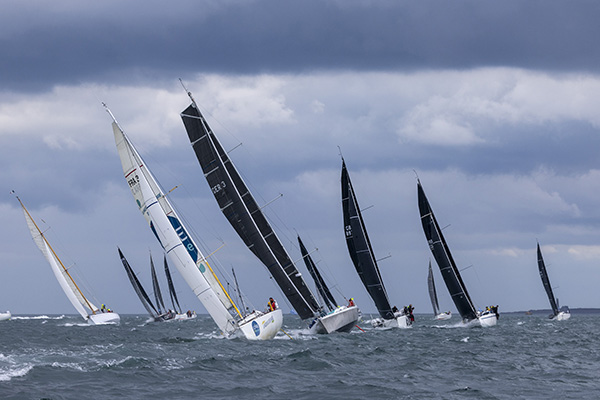
Kangaroo Island is a popular cruising ground for South Australian yachties. The waters are pristine and sailing conditions can be ideal. When the winds really blow, all-weather protection can be had in American River and the Bay of Shoals. Generally the north coast offers shelter from winds southwest to southeast but little or no shelter from the north, apart from the two places mentioned. The south coast of the island is rather too exposed for most.
My latest visit started from North Haven, near Outer Harbour, in Adelaide in January 2009. Together with two friends I set off at 20.00 hours in a southwest direction, expecting to have moderate southeasterly winds overnight. Our destination was Knob Hill on the north coast of Kangaroo Island (KI). Using our navigation software, we set the waypoint and linked the helm. With generally favourable, but mostly light winds, we spent an uneventful night, apart from trying to set a spinnaker in the dark – not a good idea. Trying to see what you are doing with a 20-watt deck light is not easy. We needed the motor for several hours but reached Knob Hill in 15 hours for the 80nm trip, an average speed of 5.3kts. We crossed Investigator Strait in light winds and smooth seas, a blessing indeed. The navigation software plus autopilot performed brilliantly. The system manages to keep to the waypoint course line without a hitch, as evidenced by the straight track on the chart picture.
Knob Hill
Knob Hill is a very scenic bay with a small sandy beach and the second night of our trip was spent in a smooth anchorage with offshore winds. A recently installed repeater station on Mt McDonnell, not far from Cape Cassini, has ensured that radio communications using VHF channel 21 are loud and clear – a big improvement.
Mares Tail
Our plan was to spend the next night at Mares Tail Bay only two nautical miles east of Knob Hill. With a very short journey for the day we tried our luck at fishing and managed to catch some sweep but the prized king george whiting were elusive. Being the first time we have visited Mares Tail, we were anxious to see what it was like and so arrived before midday. This location turned out to be the highlight of the trip. The name is derived from the strips of greenery that run vertically down the high cliffs. These are immediately apparent when close to shore, but it was a while before we noticed the pebbles on the beach below the green strips were glistening in the sun. This suggested that there was a significant waterfall from the cliffs. Our curiosity got the better of us, and we soon launched the inflatable dinghy to investigate.
Getting ashore was harder than it looked and despite calm water there was a small surf break and the shoreline was rocky and pebbly and only when we had arrived did we realise that the narrow beach was very steep. Anyway Bob and I managed to get ashore safely and still dry. The beach was difficult to traverse because the pebbles subsided as we walked over them. We could now see that a shower of water was descending from the cliffs in several places, and we later made use of these showers but without benefit of soap.
A few metres from our landing were some very interesting features. There were two caves with sizeable stalactites hanging from the cliff face and within one cave a grotto, which for all the world looked like a shrine. This bay proved to be an unexpected delight. We had the feeling that it was not a place that many had seen because access from the land would be difficult and getting ashore from the sea was also tricky. However, there was evidence that sheep or goats had visited for the fresh water.
Despite the very beautiful location, a northwesterly swell was making the anchorage very rocky and late in the day we decided to move to Emu Bay. By this time a strong offshore wind was developing and with only a genoa set we managed the 14nm sail in less than 21/2 hours.
Emu Bay
Emu Bay is sizeable bay, three nautical miles long and one nautical mile wide. If offers good protection from winds ranging between west to southeast and moderate protection on the margins of these directions. This bay has a beautiful stretch of sand, a small jetty and boat ramp. Unfortunately there are no facilities or supplies to be had ashore.
The anchorage in offshore winds proved smooth and quiet and with fishing in mind we anchored in the next bay to the east, Boxing Bay. We finally managed to bag a few king george whiting.
Christmas Cove or American River?
Our next destination had to take into account a strong wind warning, which was to last two days, with northwest and southwest winds. We had several choices: Marsden Point, Bay of Shoals, Christmas Cove and American River. We initially decided on American River because it offered a chance to get ashore. We then considered Christmas Cove at Penneshaw. To assist in our decision we called VMR American River, who I must say have always been very helpful in the past and were again this trip. Their view was that the shallow and narrow approach to this harbour was a problem. What happened next was unexpected but very pleasing. We first received a radio call from a listener, who supported this view, and then we received a call from another listener saying that the harbour was fine. This final decision was up to us.
On a previous trip we had entered the harbour but were dismayed to see less than two metres, which is disconcerting when we draw that. The mouth of the harbour faces northwest and with strong winds forecast from this direction we decided against Christmas Cove.
American River
At American River we used a mooring recommended by VMR American River and found conditions very smooth despite winds reaching 30kts-plus over the next two days. We managed to get ashore in the inflatable dinghy for a shower, and we visited the local general store. The newly built boat ramp also has floating pontoons that could accommodate a yacht, but it should not be left unattended. The general store is about a kilometre away, but they offer to deliver to the wharf and this includes fuel.
When the winds abated somewhat we ventured out into Eastern Cove for some fishing, managing to catch a few snook on the paravane.
Wirrina
The strong winds abated for our sail across Backstairs Passage, again a blessing. We initially thought we could sail for North Haven but lack of winds meant we had to settle for Wirrina. This is an excellent marina, protection-wise, but lacks facilities. There are showers and toilets ashore but they are ordinary, to say the least. There is no convenient access to provisions or meals, but fuel is available.
Our final day's sail to North Haven required the iron sails due to very light winds apart from the last few hours.
Conclusion
The week's sail covered 230nm, and we experienced the normal range of wind conditions. Some perfect sailing conditions were experienced, but generally we needed the motor more than is preferred. What was unusual and very welcome, was the overnight moorings were all smooth and quiet.
Visitation from dolphins was a delight as always.
I have already mentioned that a new repeater is operating for the north coast of KI. This is a major safety improvement for the all mariners using these waters.
The next G mobile phone worked in all areas sailed; however, I use an extension aerial. I was also able to get internet access through my mobile phone using a Telstra Browsing Pack. This is very useful and provides immediate access to various internet weather sites. It also means I can send and receive emails.
TV reception was reasonably good in most areas. However, SBS is the only station I can receive on my digital TV, at this stage. We didn't miss at least some of Barack Obama's inauguration ceremony, so all was not lost.
OTHER PORTS ON THE ISLAND
Kingscote/Bay of Shoals
For the record, it is worth including some information about Kingscote and the Bay of Shoals because they are major visiting locations. Kingscote is the main town on the island and the best place to replenish supplies. The floating pontoon, north of the main wharf area, is a convenient place to stop and visit the town. However, this is for short-term use and someone would need to be on board at all times. There are moorings in this area, but I have never used them and suggest that without permission this would be inappropriate. However, a good anchorage is to be found in the Bay of Shoals, about two nautical miles northwest. The first channel marker is to be found about one nautical north of the pontoon and the channel is also about one nautical mile long. The channel markers are to be left to port and the last one left to port by about 20m to avoid a sand bar. There are usually a number of fixed-keel yachts moored in this area, and we have anchored alongside two moored yachts in seven metres of water. Some of the boats are moored in very shallow water. Onshore there is a much-used boat ramp. The area is well sheltered by the land to the north, west and south and by Bushy and Beatrice islands to the west.