

Charting a safer course off our coast
By WA Department of Transport
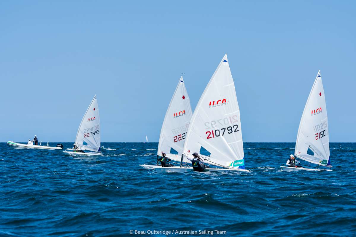
Skippers navigating the coast off Quinns Rocks are the first to benefit from the Department of Transport’s (DoT) digital transformation of its nautical chart series.
DoT Maritime Executive Director Chris Mather said the successful completion of a pilot program had seen the previous manually produced chart for Quinns Rocks, last re-issued in 2011, converted to a new digital format, allowing for more frequent updates and paving the way for future online interactive maps. “The most beneficial change is the speed at which we can update a digital format chart; previously it took up to six months for a full chart revision, but now it will only take a couple of weeks, meaning skippers will have access to more up-to-date information more often, significantly enhancing safety on the water,” Mr Mather said.
Mr Mather said the pilot program was the key recommendation of a review of the production and distribution of DoT’s nautical charts to provide a plan to best meet the future needs of the State’s boating community.
“This initial success lays the foundation for the conversion of the remaining 57 nautical charts for waters off the WA coastline and the future release of web-delivered dynamic maps with the most up-to-date information to keep mariners safe,” Mr Mather said.
“Significant work is involved in transforming DoT’s entire library of charts to the new format. DoT will soon begin work on the conversion of the neighbouring chart for waters off Trigg Beach, then move to areas where there have been recent changes to the sea floor such as Carnarvon.”
DoT produces nautical charts for a large portion of the WA coastline and they’re available for free download. The agency’s valuable data is also used by a number of chart plotter distributors.
A nautical chart provides skippers with the information they need to be safe on the water. Browse the library of charts, including the updated chart for Quinns Rocks, at https://www.transport.wa.gov.au/imarine/coastal-data-and-charts.asp


