
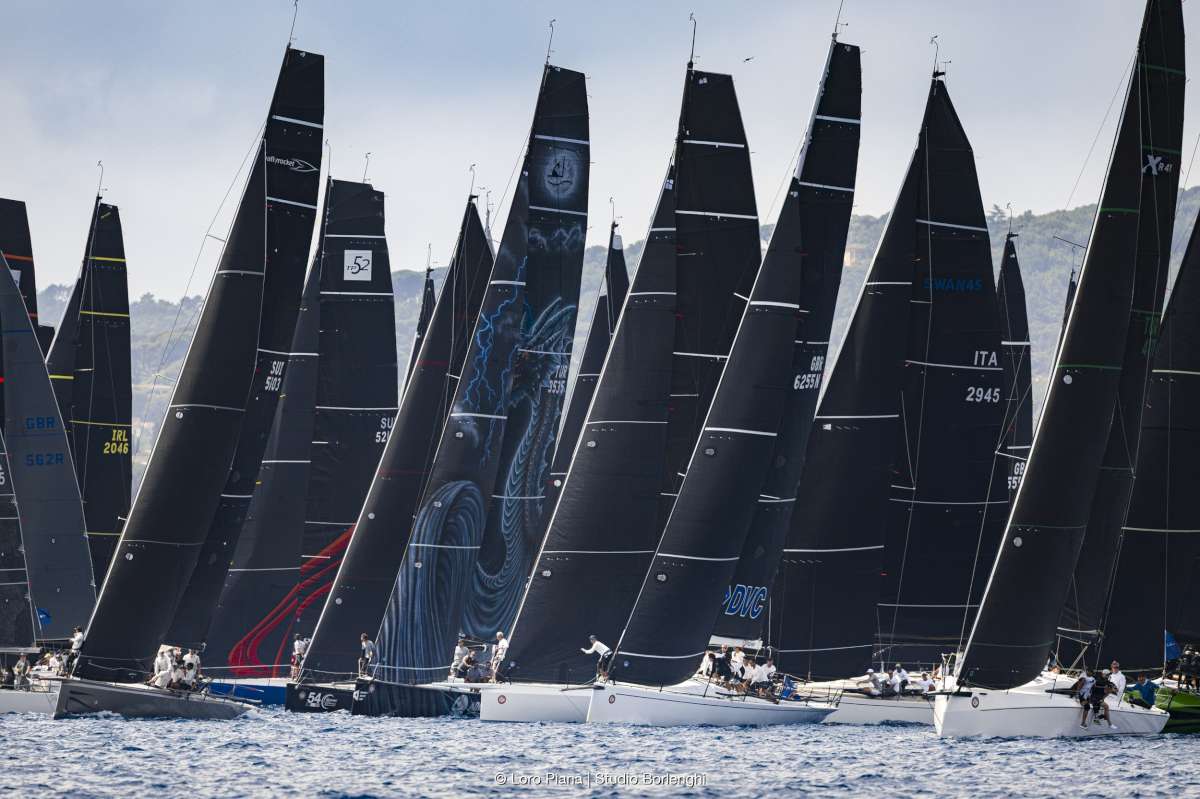
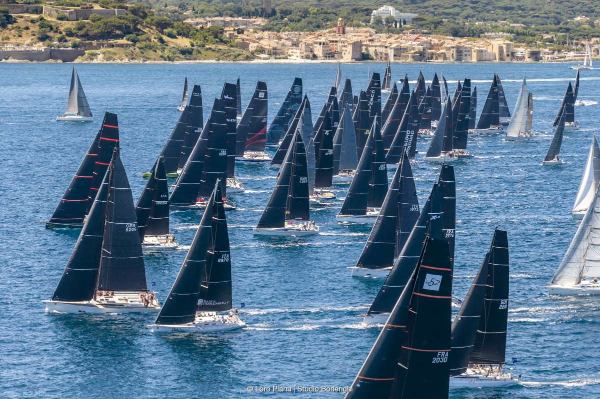
The Global Solo Challenge starts in September. This will be a non-stop, single-handed race around the world. Boats will be starting based on handicap, with the first starters off on 2nd September and the last ones on 28th October. First one across the line wins!
This article by Sefo, was recently posted on their site:
Perhaps one of the worst circumstances that a sailboat can face on the high seas is to find itself immersed in a tropical cyclone. These phenomena normally have fairly defined seasons; occur in latitudes or areas that are well marked in the nautical bibliography, and their evolutions and directions are usually marked by relatively well-known patterns. But they can always surprise us with formations of severe intensity where they have not normally occurred or they can behave with “strange” behavior.
Sailors and their boats, and even more so those who sign up for events such as the Global Solo Challenge (GSC), must be prepared to be able to withstand all kinds of storms on the high seas, whatever their nature. Squalls, deep low pressure associated with fronts creating very strong and sudden stormy showers in calm areas can be as damaging, for the boat and the skipper, as a cyclone. Additionally, the sea can always surprise us with more power, more wind, and more waves than anticipated. When one finds oneself in the middle of storms of any kind, one never knows for sure how long they will last and to what extent the power with which they are going to express themselves will reach. For those sailing, it always seems that it blows with more intensity than what the forecasts predicted.

An interesting phenomenon happens to us as conditions go from extreme to less extreme. You start sailing with a 35-knot wind and rough sea and it seems rough. Then conditions increase to a 50-knot wind and rough sea and that seems rough. But then, as when you sail in those conditions for a time and it starts to die down, the 35 knots, that seemed rough before, seem like a gift and give you the feeling of sailing in “normal” conditions…
Tactics and foresight will always be the first tool we have in order to be able to minimize the harshest or most dangerous situations of any storm at sea, to the extent possible. All different storms require their tactics; their ways of anticipating and following them; how to prepare the ship and get things ready. Although it is difficult for us to completely eliminate getting a thrashing from the storm; the best prevention is to be as fully prepared as possible for the moment it reaches us. The boat is prepared both inside and outside for when the storm will hit. There can be different preparations depending on the situation in which we find ourselves. It is not the same on the high seas, far from nearby land, compared with a nearby coast especially if it is downwind. Each situation will determine the decisions to be made.
In the case of tropical cyclones, and following the information that reaches us on board the meteorological stations, it is usually possible to follow the trajectory of the storm. This information and the position of our ship will allow us to evaluate the risks we face and will help us to know what situation we are in with respect to the storm and the tactics that we must adopt.

If we are sailing in the northern hemisphere traveling East to West, and we observe the direction that the wind is coming is towards us, the center of the cyclone will be between 90º and 135º to our right, if the wind begins to turn to starboard, it means that the ship is in the right semicircle of the storm and therefore in the dangerous semicircle, if on the contrary, the wind turns to port it means that we are in the navigable semicircle. If the wind direction is stable while it picks up and the barometer drops, the ship is directly in the path of the cyclone, if on the contrary the wind does not change direction but dies down and the barometer rises gently, it means that we are behind the center of the storm.
The recommended tactic in case we find ourselves in the path of the cyclone will be to make a course perpendicular to the supposed trajectory, tack to starboard, and maintain this angle, we will do this same tactic in case we find ourselves in the navigable semicircle. Depending on the behaviour of the boat given the sea that forms, the intensity of the wind, and the gusts, we will have to run the storm, either dry stick or with the storm jib, if the conditions allow it.

In the case of finding ourselves in the dangerous semicircle it will depend on where we are in it, the first quadrant is the most dangerous, in this, and in the case of a possible inflection in the path of the cyclone, we can try, if conditions allow it, to do a close-hauled course on starboard tack and perpendicular to the presumed inflection trajectory, or go to the cape, always on starboard tack. The latter we will also do in the second quadrant of the dangerous semicircle, always with the aim of moving away from the center of the storm
In the case of being in the southern hemisphere, the center of the storm will be between 90º and 135º to the left of the observer. If the wind turns to port, the boat is in the left half circle of the storm, the dangerous one, if it turns to starboard, is in the navigable one. If the same circumstances are observed in the behavior of the wind, in its intensity and in the barometer, explained for the northern hemisphere, we will know if we are in the path of the cyclone or behind its center. The tactics fundamentally change in that we will do the same maneuvers as in the northern hemisphere, but all on port tack, either running in the navigable semicircle or tacking or riding in the dangerous semicircle.
These rules are general and can be applied in most cases, however, there will be many circumstances that will cause us to make different decisions. Examples are if we are near the coast and we do not have enough sea to run the storm; the behaviour of our boat in the high winds or how it runs with heavy seas…, obviously the best thing is to try to avoid the areas and times where these types of storms occur, but sometimes unpredictable behaviour or unexpected formations can lead us to be trapped by one.

The undersigned and “Mitch” attest that these well-practiced tactics work. We can be surprised by a storm that is theoretically moving away and that, due to one of those unpredictable behaviors, you suddenly find yourself inside!
In our case, our tactic went to the starboard tack, while we were in the dangerous semicircle, we were in the “soft” quadrant behind the center of the storm. The best news we had was that in theory, it was moving away from us, that “cheered” us up during the 19 endless hours that the “strong” storm lasted!!!
Then it started to subside and everything became “smoother” despite almost always continuing to touch the border of 50 knots!!
Chaos and destruction awaited us upon our arrival in the Bay Islands (specifically Guanaja), Honduras. There we became more aware of what had actually happened and what we had been through!
Global Solo Challenge, Single-handed, Around the world, Non-stop


