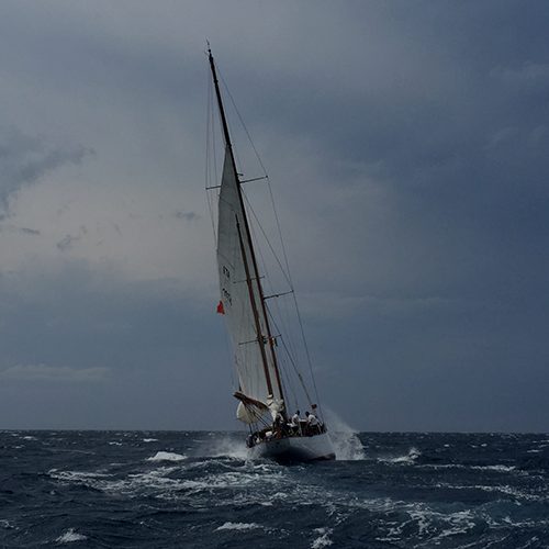
Tropical Cyclone Oma formed in the Fijian area of responsibility and was forecast to approach the southern Queensland coast this weekend.
The 11am (AEST) track map yesterday (Thursday) showed the system moving closer to Queensland and into the Bureau's area of responsibility. A Tropical Cyclone Watch was put in place covering the coast from Bundaberg in Queensland to Ballina in northern New South Wales.
Queensland State Manager Bruce Gunn said the effects of Cyclone Oma were already being felt along the Queensland coast with warnings in place for higher than normal tides and dangerous surf conditions developing south of Seventeen Seventy causing coastal erosion for exposed beaches.
“Surf and swell conditions will be hazardous for coastal activities such as rock fishing, boating, and swimming and many beaches are already closed for public safety,” he said.
Seas and swell are also expected to increase well ahead of the approach of Cyclone Oma, and these conditions present a danger for even the most experienced swimmers and surfers—so it's safest to stay out of the water.
While it is unusual for a cyclone to track this far south, it is not unprecedented. Each tropical cyclone is unique and it is difficult to make historical comparisons.
Cyclone Nancy (1990) was the last cyclone to directly impact Brisbane did not make landfall but rather grazed the coast near Byron Bay before moving offshore. The main impacts were coastal erosion and flooding for Gold Coast beaches and the adjacent Hinterland.
Latest Information, issued at 5:09 am EST on Friday 22 February 2019:
Tropical Cyclone Oma has weakened to Category 1. The Cyclone Watch has been cancelled along the SE Qld and northern NSW coast, as the system is forecast to remain offshore through the weekend. Abnormally high tides and dangerous surf conditions will continue, refer to the latest Severe Weather Warnings.
Details of Tropical Cyclone Oma at 4:00 am AEST:
Intensity: Category 1, sustained winds near the centre of 85 kilometres per hour with wind gusts to 120 kilometres per hour.
Location: within 35 kilometres of 24.6 degrees South 159.4 degrees East, estimated to be 710 kilometres east northeast of Brisbane and 720 kilometres east of Bundaberg.
Movement: south southwest at 13 kilometres per hour.
Tropical Cyclone Oma has weakened to Category 1 but is forecast to strengthen back to category 2 during Friday. It is expected to continue moving in a generally south to southwesterly direction during Friday and early Saturday. Oma's motion becomes slow moving to the north during Saturday, remaining offshore through the weekend and early next week.
Hazards:
Abnormally high tides and dangerous surf conditions are expected along the southern Queensland coast over the next few days and into early next week. Seas and swell are already increasing well ahead of the approach of Oma with dangerous surf about the east coast extending from far northern New South Wales northwards to Seventeen Seventy, just north of Bundaberg. Beach erosion is likely to continue with the hazardous marine conditions.
A severe weather warning for damaging winds, abnormally high tides and dangerous surf is current. A hazardous surf warning is also current.
Gale force winds, with gusts greater than 90km/hr, are expected to develop along exposed coastal areas of southern Queensland during Friday well ahead of Oma. Gale force winds are also possible about elevated terrain near the New South Wales border during Friday. Gales may extend into coastal parts of far northern New South Wales on Saturday.
The Watch has been cancelled due to Strong Gales being unlikely to develop on the coast.
Water levels on the high tide may exceed the highest tide of the year by around one metre over the next few days.
Recommended Action:
Please refer to the latest Severe Weather Warnings for Queensland and New South Wales.
See Warnings for the latest track maps and updated warnings: www.bom.gov.au/qld/warnings


