Destination: Brisbane Water
The small, land-locked destination of Brisbane Water has a lot to recommend it, despite a bar and bridge, says Alan Lucas, who has made it his land base when not out cruising in Soleares.
Brisbane Water is commonly thought to be in Queensland, presumably near its capital city of Brisbane. This assumption is understandable but, in fact, land-locked Brisbane Water is just a few hours' sail north of New South Wales's capital city, Sydney. Geographic confusion started in 1825 when it was renamed after the current Crown colony's Governor, Sir Thomas Brisbane. Previously Governor Phillip (the colony's first governor) had named it North East Arm when he and his crew became the first Europeans to enter and survey the region, in 1788.
Governor Phillip's appellation made the best sense because Brisbane Water truly is the northeast arm of Broken Bay, just as surely as Pittwater is its south arm. The big difference between the two arms is in their accessibility. Pittwater, as thousands of vessels every year prove, can be entered on all tides while Brisbane Water's entrance is shallow and barred. This fact – coupled with its densely forested shores resisting easy land clearing, were the historical reasons for its delayed development.

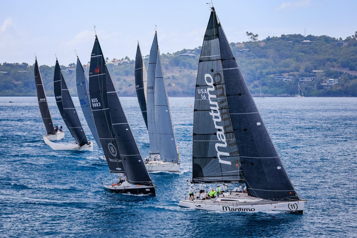
Yachts off Gosford near the sailing club.
The bar
The shallow, sometimes dangerous bar prevails to this day, while the rush for waterfront land has more than taken care of forest density. This rush started in 1823 when boatbuilder James Webb received temporary permission to occupy 300 acres “on the eastern side of north east arm”. Webb was quickly followed by other boatbuilders, farmers and, nowadays, urbanites, many of whom swarm to their daily employment in Sydney by train or by car down the F3. The region is collectively known as the Central Coast (because it is centrally placed between Sydney and Newcastle) and its main town is Gosford.
Brisbane Water's barred entrance is generally referred to as “Lobster Beach” because its shallowest area lies off this lovely part of the Bouddi National Park. However, the most troubled water is immediately south, in the approach channel during strong ebb tides against wind and swell. The approach channel starts shoaling off Little Box Head until depths decrease dramatically a few cables north and remain that way all the way past Lobster Beach before deepening again into a definable channel hard against the national park as it curves up to Half Tide Rocks.
Depths again decrease immediately south of Half Tide Rocks, making this an area of critical navigation because silt readily accumulates under the ebb tide “lee” of this rocky ledge. This section is sometimes dredged when shoaling becomes severe.
Tidal streams run swiftly around the western end of Half Tide Rocks, obliging the helmsman to pay attention to avoid being set too far off when hauling around the green buoys. It should also be noted that when Half Tide Rocks are abeam, just before the buoys, the swell is on the beam, threatening a bone-shaking hammering should a vessel hit bottom and be set towards the rocks. Without local knowledge it very definitely pays to enter only during low swell conditions on a rising tide at least three hours old.
According to the whims of floods, droughts and land clearing, entrance depths wax and wane, making long-term accurate prediction impossible. Broadly speaking, bar depths rarely reduce much below 0.8 of a metre, low-water springs, allowing displacement vessels easy access on a suitable tide with low swell.
Once into the calm waters beyond Half Tide Rocks and approaching the bay known as Pretty Beach it should be noted that the old south channel must be used ð the newer dredged short cut to its immediate north being closed owing to silting.

Gosford Sailing Club's new floating marina.
Rip Bridge
The next challenge for masted vessels is the Rip Bridge with its clear headway at centre of arch 17.4 metres HWS. This tends to be more than adequate for the average yacht capable of navigating into Brisbane Water, but nevertheless can be marginal for some tall rigs. If in doubt, do not carry the same rising tide under the bridge because with the stream running at up to six knots it may prove difficult, if not impossible, to make a last minute 'U' turn. If in doubt, anchor or grab a courtesy mooring in Hardys Bay and await the ebb tide, which can be stemmed as the bridge is approached.
From the Rip Bridge to the main body of deep water, known as the broadwater, Paddy's Channel is well beaconed with ample depths. However, it should be noted that the old short-cut around Saratoga peninsula has been closed by silt. Vessels bound for Saratoga should remain in Paddys Channel until the Broad Water is entered. At this point it can truly be said that the main body of Brisbane Water has been reached, where good depths allow round-the-buoys yacht racing and limited cruising, unrestricted by isolated rocks and reefs. There will also be found a number of secure, if not secluded, anchorages.
Swing moorings occupy every bay in the Broad Water, but the anchor can be dropped outside their boundaries from where getting ashore is seldom too complicated. At one extreme, you have no less than four public jetties to choose from at Saratoga, while at the other extreme, some areas demand a high tide to row ashore with dry feet. If wading ashore at low tide, the good news is that much of Brisbane Water's intertidal zone is firm sand and weed. In contrast, its deeper water has a bottom of excellent holding mud.

There are a number of water front restaurants.
Gosford
At Gosford, in the northern corner of Brisbane Water, a small breakwater protects a basin of swing moorings plus a public jetty with pump-out, a ferry base and a number of bow-in visitor berths, which are managed by the Royal Volunteer Coastal Patrol whose base is diagonally opposite. Book on VHF or phone 4325 7929.
Close south of Gosford, on the eastern side of the Broad Water, the Gosford Sailing Club reciprocates with most clubs, making its floating pontoon available for short-term stays and taking on water. A 29-berth club marina has just been finished, while rumours continue to persist regarding a marina in Gosford's breakwater enclosure.
Twenty-four-hour NSW Maritime courtesy moorings are scattered throughout Brisbane Water at the following sites: Hardys Bay (two), Saratoga west (one) and off the Gosford Sailing Club (two). Anchorage can be taken virtually anywhere with due regard to submarine cables, ferry movements, non-obstruction of navigable channels and, of course, wind direction. The bottom is excellent holding in most places as long as you remain outside the weed-line, which ends at around three metres.

To negotiate the tortuous approach channel into Brisbane Water wait for conditions of low swell and a rising tide no less than three hours old. The only overhead obstruction is the Rip Bridge with a HWS headway of 17.4m.
Woy Woy Channel
Accessed from Paddy's Channel are other branches of Brisbane Water. Notable is Woy Woy Channel, which can be used as an alternative route into the Broad Water or to Woy Woy's public jetty from where serious shopping is easy and convenient. Use only the western half of the jetty, the eastern half being dedicated to ferry traffic. West of the railway track are enticing waterways with good navigable depths known as Woy Woy Inlet and Bay. Unfortunately, rail and road bridges of just 2.2 metres headway restrict them to small boats only.

The author's yacht, Soleares, alongside the pump-out-station, Gosford. Since this pic was taken the jetty has been replaced with a floating pontoon.
Cockle Bay
Opposite Woy Woy Channel, around Rileys Island, is an east-tending channel into Cockle Bay and Cockle Broadwater. Empire Bay Marina with its fuel and slipway are situated here, east of which the channel shoals enough to restrict some yachts. Those capable of clearing the shoals can enter Cockle Broadwater unrestricted, thanks to the overhead cable across its narrow neck being removed some years ago.
As noted earlier, tidal streams are swift around Half Tide Rocks and under The Rip Bridge, but reduce in intensity towards the northern end of Paddy's Channel until, in the Broad Water, there is little to no horizontal movement. Vertical movement also diminishes from a full Sydney range at the entrance to around half the range in the Broad Water. Tide times also advance from around 40 minutes later at The Rip Bridge to around two and a half hours at Gosford.
There are a number of older-style and rather charming marinas in the region, these being in Hardys Bay, Booker Bay and Empire Bay. Approaches to all are congested with moored craft, but most facilities are available to vessels of a size commensurate with the navigational limitations of the area.
Walking
Sailors who enjoy walking ð or taking their bikes ashore ð will be rewarded with some excellent foreshore pathways, the extension of which may one day encircle the Broad Water. Meanwhile, the path starting at Gosford Sailing Club takes you into Gosford or across the railway bridge, thence to West Gosford. A more extensive path follows the waterfront behind the mangroves along the western side of the Broad Water from an under-rail tunnel near the Royal Volunteer Coastal Patrol base.
Everything you need
Compared to many other cruising grounds, there can be no pretending that Brisbane Water is still the natural wonderland of our forebears, but it is nevertheless a destination with a difference, being almost completely landlocked and embracing all the facilities and recreational opportunities any visitor could fairly expect. Gaining entry demands navigational commonsense and caution, but if you have to await a tide or two for safe entry, or turn back and try again another day, then Lobster Beach is a fine booby prize with its good anchorage against onshore winds, good swimming and the beauty of a national park above.
Brisbane Water round-up
* Marinas in Hardys Bay, Booker Bay and Empire Bay. All services.
* 24-hour courtesy moorings in Hardys Bay, Saratoga West and Gosford.
* Shopping malls at Gosford and Woy Woy. Handiest village shops at Saratoga.
* Trains. The main northern railway passes through Gosford and Woy Woy.
* Buses. Local buses service all of the Central Coast.
* VMR. Royal Volunteer Coastal Patrol, West Gosford.
* Chart. AUS 216 Lion Island to Brisbane Water.
* Nav guide Cruising the NSW Coast, Alan Lucas.

Alan Lucas is Australia's leading cruising writer and has written hundreds of magazine articles in addition to penning the guides Cruising the Coral Coast and Cruising the NSW Coast.