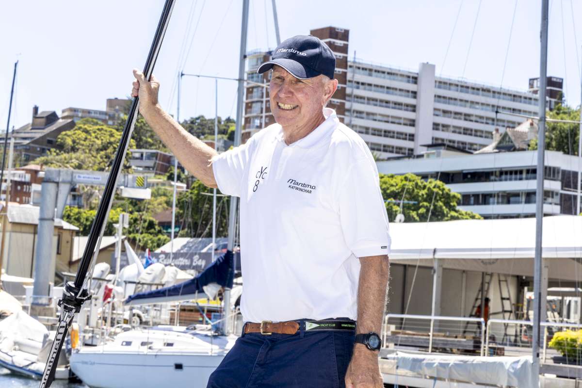
Megan Blakie revels in one of New Zealand's most famous destinations – Queen Charlotte Sound.
“It'll be busy!” warned a Christchurch yachtie, referring to the Marlborough Sounds at Christmas time. “Whitsunday-busy or Hauraki Gulf-busy?” I asked, having experienced these popular cruising grounds on both sides of the Tasman.
My question is answered on New Year's Eve. We find ourselves comfortably anchored in festively named Mistletoe Bay, located in the western section of Queen Charlotte Sound called Grove Arm. Only seven other boats have staked out their swing circle in this delightful bay northwest of the township of Picton. I guess “busy” is a relative term.
Top of South Island
“The Sounds”, as they are commonly called, are located at the top of the South Island of New Zealand and are a picturesque collection of long inlets and bush-clad bays and islands. A glance at the navigational chart indicates the great appreciation Captain Cook had for the area, bestowing it with names such as Endeavour Inlet and Resolution Bay.
The Sounds have fiord-like qualities – although geographically speaking the bays are actually drowned valleys. Most are steep-sided and deep, which intensifies the pounamu jade-green hue of the water. At Mistletoe, we've dropped our pick in 12m of water, about 200m from the wharf.
Snug and sheltered
We're oblivious to the gale-force northerlies blowing in Cook Strait, the entrance to the Sounds and the notorious stretch of water separating the North and South Islands. Apart from the odd gust down the head of the bay, we experience nothing of the tumultuous seas 18nm away.
My husband David and I motorsailed 32 hours north of Christchurch in anticipation of spending four weeks exploring the Sounds. We're only a few days into our holiday afloat and already we've fallen victim to the cruising mantra “live slow”. Mistletoe Bay has exceeded expectations, with its easy access to walking tracks and facilities of the privately run “eco-positive” campground at the head of the bay.
For a small charge we can offload our rubbish into skip-like bins, and eggs and freshly dug vegetables can be ordered from the tiny shop that opens for a few hours a day. More surprising than the shop's existence in this unlikely location is its ability to satisfy the townie's need for caffeine: takeaway latte anyone?
In fact, the Sounds can satisfy the needs of both the coffee-addicted weekend sailor and the salt-encrusted yachtie who seeks ruggedness and isolation.
Grove Arm is popular for its more sheltered and settled conditions and its proximity to Picton for topping up provisions and fuel (there's a marina and a visitor's berth). Many boaties also utilise Waikawa Marina, where many power and sailing vessels are permanently berthed.
Farther east is Endeavour Inlet and Ship Cove, en route to Pelorous Sound and its offshoot Keneperu. In lighter winds you can sail north to these sounds from Queen Charlotte Sound (a daytime sail); otherwise you could base yourself in Havelock Marina and explore them from there.
Farther north again, D'Urville Island beckons those who enjoy lush vegetation and rugged coastline, and who are free from time constraints. I've heard that the currents in French Pass (one route south) can prove challenging and that stiff prevailing northerlies can hamper attempts to leave Port Hardy.
Trademark conditions
Windy conditions are a trademark of the Sounds, and it is prudent for skippers to keep up with daily weather predictions. Marlborough Radio transmits weather forecasts every day on VHF channel 63 at 0835, 1135 and 1735 hours. The wind direction and strength that are broadcast are for Cook Strait itself, but they give a good indication of which side of the sound will provide shelter.
The difficulty of predicting exactly what conditions will be like lies in the geography of the Sounds. The valleys can curl or funnel the wind into anchorages that, from a glance at the chart, you would expect to be sheltered. Often the wind eddies and curls round bluffs, making a northerly appear to be a westerly.
Many boats combat the vagaries of the wind by anchoring close to a steep shoreline and using a stern line. Many bays are natural or little developed and so vegetation is accessible for attaching a rope from shore to your stern. Flipper Bay, a delightful cove just west of Onahau Bay (of which Mistletoe Bay is part), is one such perfect spot where you can tuck in close and almost be enveloped by the bush.
The temperate rainforest conditions can attract sandflies, although for the most part we haven't found them to be much of a nuisance. On some nights, we've placed a net over the open companionway to avoid the nibbling of a rogue sandfly or mozzie. However, it's been nothing like our experience of the Queensland midges at Curtis Island.
The age and diversity of native bush in Queen Charlotte Sound has pleasantly surprised us. No wonder New Zealand's conservation department maintains a 77km walkway here. Many bays have tracks that connect with the main Queen Charlotte track. Our uphill climbs rewarded us with gorgeous views over Queen Charlotte and Keneperu sounds – so we did get to see Keneperu after all.
Kayakers and boaties can also enjoy remote picnic spots where the magnificent rainforest is home to kereru (wood pigeon), tui, bellbird, piwakawaka (fantail) and the inquisitive ground-based weka. Waking up to the daily dawn chorus of birdsong is a real treat.
Captain Cook preferred the Sounds to any other part of New Zealand. We think it's a special place, too.
Top Five Highlights
There are many special places, but our personal top five favourites are:
1.Mistletoe Bay
(eastern arm of Onahau Bay)
Delightfully calm anchorage in north sector winds, with wharf, camping facilities and easy access to the Queen Charlotte Track.
2.James Vogel bushwalk
(45 minutes return)
Partly funded by WWF, this loop walk (starting from Mistletoe Bay or accessible from Te Mahia saddle) takes you past a 600-800-year-old rimu tree and other native flora. Farther up the hill, the walk also links with the Queen Charlotte track.
3.Lochmara Lodge Wildlife Recovery and Arts Centre, Lochmara Bay
We walked two-and-a-half hours from Mistletoe Bay to enjoy the coffee, sculptures, wildlife and waterside setting of this funky café. Alternatively, you can sail round and pick up a (free) mooring. Café staff will zip out in a tender to pick you up – talk about cockpit-to-wharf service! (Note that some older charts incorrectly mark the lodge in the neighbouring bay.)
4.Ship Cove
(and Captain Cook Memorial)
We anchored in Resolution Bay and followed the Department of Conservation signs to locate the well maintained but fairly steep track to Ship Cove. The two-hour walk (one-way) rewarded us with more beautiful bush and birdlife. At the cove, interesting storyboards describe local Maori history and Captain Cook's exploration of the area. Cook visited numerous times between 1770 and 77, and undertook ship repairs here. Modern explorers can also anchor safely in Ship Cove in suitable winds.
5.Bay with no name
near Patten Passage
We watched stingrays in the crystal-clear shallows and beachcombed on a shell-scattered golden beach in one of the bays west of Wharehunga Bay. The Arapawa Island bays east of Patten Passage are accessible and sheltered in south sector winds. Hector's Dolphins, the world's rarest, are often found frolicking in the passage and around Blumine Island.