
Alan Punch, an RYA Navigation Instructor with Navathome Australia, explores the most effective methods for approaches to route planning with modern navigation tools.
The GPS has integrated into modern navigation practices, as well as route planning.
Whether you have a handheld GPS that has a basic display, or a detailed chart plotter, it has become an essential part of your navigation tool kit. As they have evolved, the capability has increased to the point that it almost seems that they can do all the planning for you.
Functions now include:
- Waypoint routing – automatically moving onto the next waypoint once the current one is reached
- Auto-routing – plotting a route automatically from point to point and avoiding hazards
- Cross track error – how far off course you are
However even when using these systems, the navigator is still ultimately responsible – not the GPS.
Planning a route is not just thinking about the start and end points, it is about working out a route that is safe, efficient and comfortable. It is also about thinking of where to go if you run into trouble. A route is effectively a series waypoints to help you get to your destination, that are designed to avoid hazards and areas of concern. But how do you choose where to put the waypoints?
Selecting waypoint locations
One of the most important factors to consider with GPS navigation, is to verify that it is working correctly. An error in your GPS can unknowingly lead you into harms way without realising it. However, a well selected waypoint means you can verify the performance easily throughout your passage.
- Look for waypoints that allow you to take compass bearings off landmarks or navigation aids
- Depth contours are great when used along with bearings to landmarks
- Transit marks used in conjunction with depth contours, or other navigation aids
An important practice we teach our students at Navathome, is to not place waypoints directly on navigation aids. In theory, navigation aids are convenient to use as a waypoint. Once seen, you can steer almost straight to them, and they are a great way to verify your GPS.
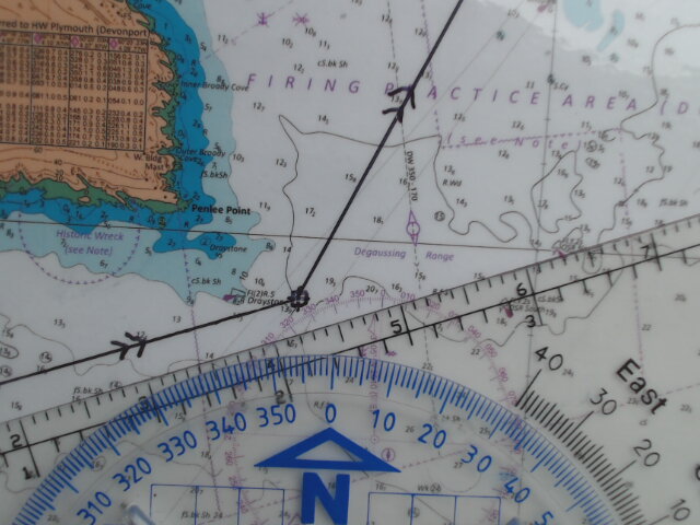
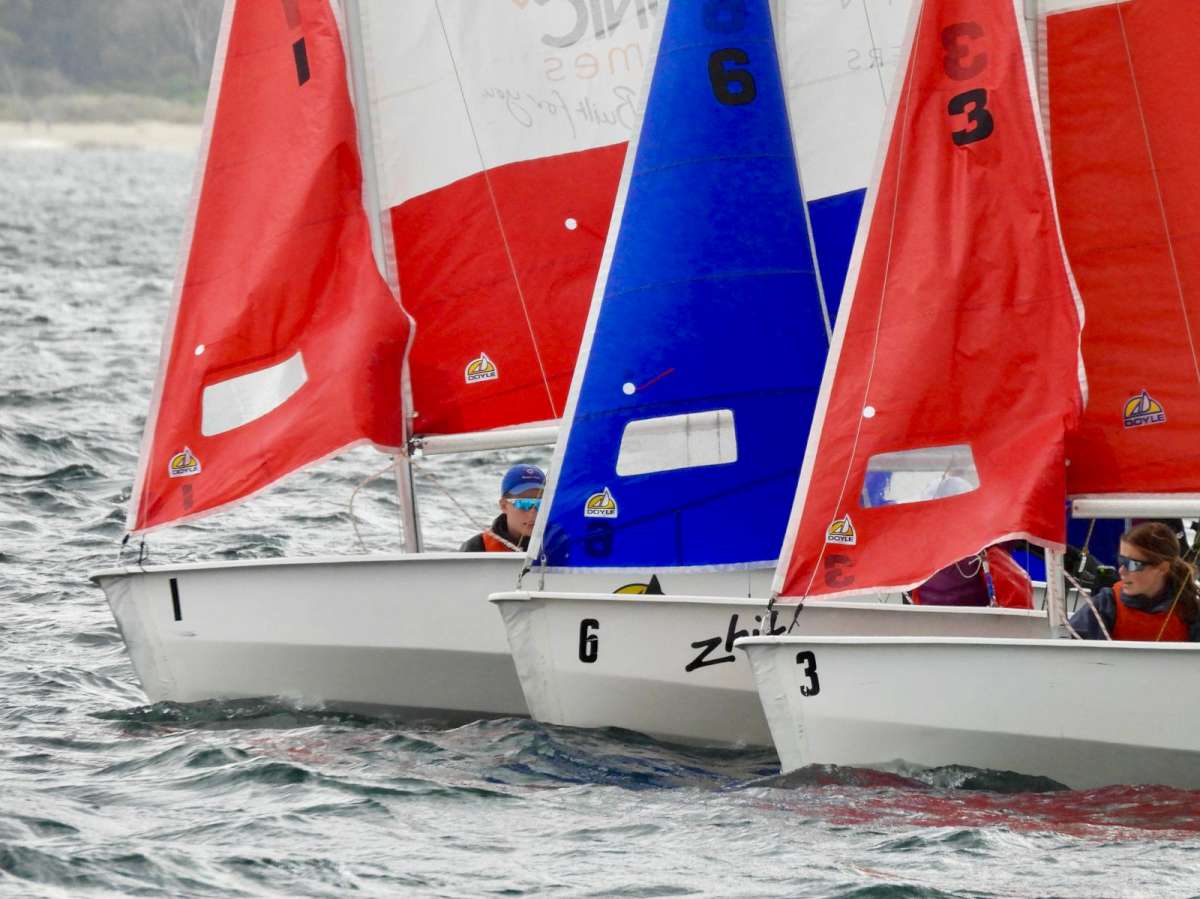
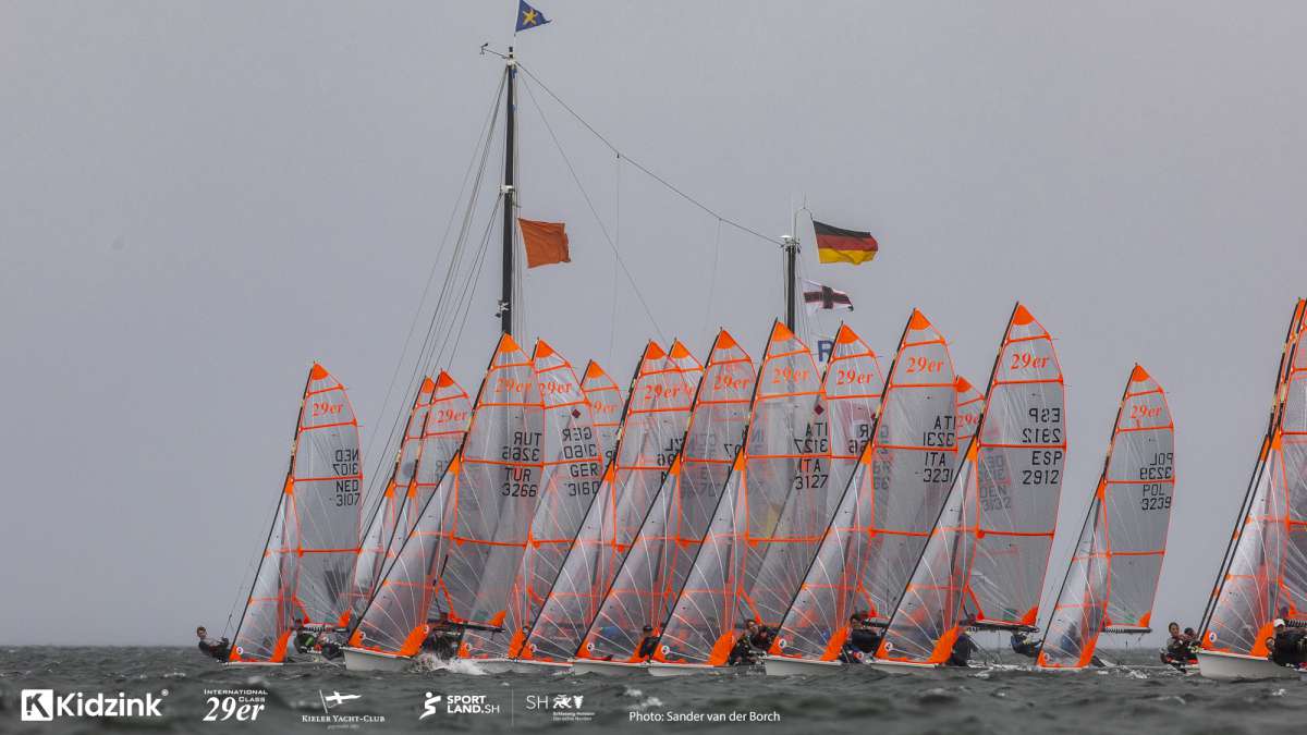
But the problem is they are too convenient. It is almost human nature to place waypoints on key features, so if you tend to do it, so will others. This can potentially cause congestion and limited room to manoeuvre if multiple vessels converge on the waypoint at the same time. When it comes to navigation aids, they are often situated on the edge of a navigable area and this makes the situation worse.
Setting a waypoint a few hundred meters off the mark in clear water reduces the potential for other boats to have picked the same waypoint and you have greater space to manoeuvre if they do. It also keeps the area around a mark clear if used by racing fleets.
Saving waypoints
Useful waypoints are worth saving. These are the ones that you may use time and time again, that may have easy landmarks or transits to work from, and importantly, ones that you know are safe. In days gone by, you may save them in your little black book of navigation. Now it is easier to save them into your GPS (but we still recommend keeping a hardcopy of them in case the GPS fails).
Waypoints that could be used again should be saved with a clear identifying name. Every modern GPS allows you to name your waypoint by something appropriate. It could be:
- The name of the nearest navigation aid
- References to a key landmark
Naming them after a latitude and longitude isn’t very clear to most people without a chart, and naming them numerically is a waste of time as the name is not intuitive. Give your waypoints useful names.
Of even greater value, is that most modern GPS systems allow you to add specific notes to each waypoint. This feature is overlooked by many, but the benefits are numerous.
- List off key features that can be used to verify the position
- Notes can be included for different approach angles
Whilst this information can be written down in a plan and easily taken from a chart, it is often far easier if it is already saved in the system.
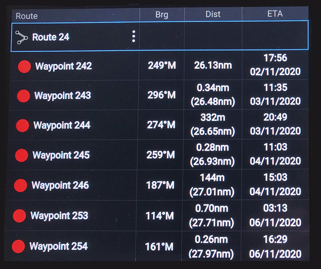
Using the Auto-route function.
The auto-route function automatically plots a passage, normally via the most direct route, using a series of waypoints. However, you need to be aware of how the function works to get the most out of it.
The auto-route is only as good as the information it has. If it is to ensure the passage is in deep enough water, it needs to know what your vessels draught is. To ensure it doesn’t try and take you under a bridge that is too low, it needs to know what your air draught is. These values need to be programmed into the system manually.
The plotter uses information on depth and hazards based on the loaded chart data. If the loaded data is old, there is greater risk that there could be new hazards that the system will run you into. For this reason, when using the auto-route, you should always check the outputs on the latest paper charts to make sure the passage is safe.
The output of the system is a route consisting of a series of waypoints. The route is typically the shortest passage from your departure point to your destination that avoids all the hazards. As a result, the waypoints and the route are not always the most appropriate or user friendly.
- Waypoints could be positioned on navigation aids
- There may be no viable mechanism to verify your position
- Determined route may not cross traffic separation schemes correctly
- Determined route may not consider any specific local requirements
This means that you, as the navigator should check the route on a paper chart beforehand, and if need be, move the routing to use waypoints that you have used before that you know are safe and can be easily verified, and to ensure the route complies with local regulations.
The auto-route also has limitations in terms of passage optimisation. It is not equipped with the years of experience of a yachtsman, or specific local knowledge. It may not pick that narrow passage that you know of that can save half an hour, it may skip the inshore passage inside a reef might add a few miles you your trip, but promises smoother conditions that offer faster speeds, and more comfortable conditions. The route may also not take advantage of favourable tide or current conditions that can speed up your journey.
Weather also plays a part; you may prefer a route that provides greater shelter even though it is longer, or one that has more opportunities to take refuge in a sheltered harbour. But the auto-routing may push you away from this. In these cases, you would have to manually change the routing to achieve the passage you want.
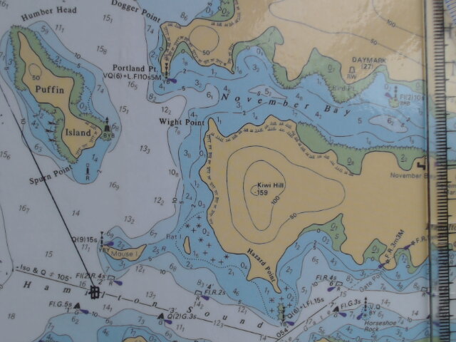
Finally, be cautious when choosing your final approach waypoint at the entrance to a narrow channel or harbour. Often these entrances are bordered by hazards that can ruin your day so close to your destination. Never position the waypoint directly in the centre of the approach channel. Place it out in clear water at least half a nautical mile from the harbour entrance where you can clearly see all channel marks and approach transits.
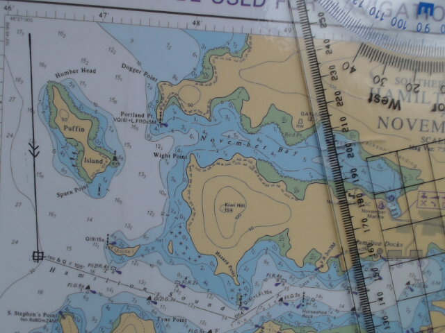
Putting the waypoint in the middle of the channel can bring you into greater risks of hazards, especially if you have drifted off course. Putting it in clear water gives you more time to consider your entrance and to make sure you have identified the visual pilotage aids to get you in safely without having a close experience with the sea floor.
Alan Punch is an RYA Navigation Instructor with NAVatHOME Australia, and has a degree in Instrumentation and Control System engineering.


