
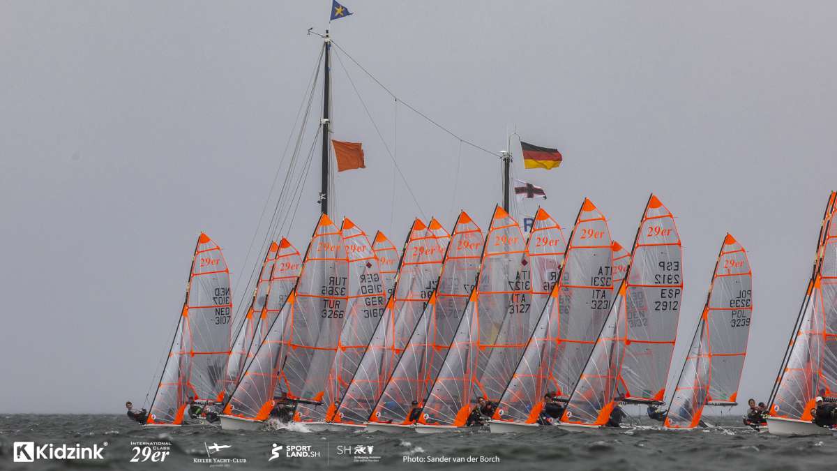
ALICANTE, Spain, March 25 – The Volvo Ocean Race fleet passed over Point Nemo* on Wednesday – the furthest from land you can get when at sea– on the day that a new ice limit was introduced by organisers to keep the boats clear of a large iceberg that was drifting towards the path of the fleet
The race has been using the services of a Toulouse-based company, CLS, to advise on the placing of the ice limits**. Leg 5, which routes the fleet through the Southern Ocean on a 6,776-nautical mile (nm) stage from Auckland to Itajaí, Brazil, has kept the race advisers particularly busy. “So far, we’ve detected about 20 icebergs,” said CLS’s Franck Mercier (http://www.cls.fr/en).
So how exactly do you find one? CLS uses a lot of different data and up to four satellites for that. First, the sea temperature. The colder the water, the more likely they are to find drifting ice. Currents affect this too, pushing it all around the Southern Ocean. Secondly, the historical data CLS that has gathered these past few years – they have been assisting several sailing races in the Southern Ocean, including the Vendée Globe and the Barcelona World Race. And finally, the radar techniques.
CLS is working with space agencies, using their satellites to scan the sea surface in search of ice. They use altimetry techniques (http://en.wikipedia.org/wiki/Altimeter#Satellites) to draft a first exclusion zone, and SAR imagery (http://en.wikipedia.org/wiki/Synthetic_aperture_radar) to target the areas identified as potentially dangerous and scan them thoroughly.
Altimetry only spots the biggest icebergs, that is those bigger than 300m. SAR imagery is much more precise, every standard image covering a 500km x 500km area. SAR satellite sensors can detect smaller bits of ice – up to 50m in the case of a high-resolution picture. That is as accurate as it gets.
“Remember it’s not an exact science,” added Mercier, a French researcher who knows the icebergs by name. “We’re contributing to decrease the risks, but we don’t suppress it. “The idea is to detect the biggest icebergs to anticipate the position of the smaller ones, which are still very dangerous for the boats, all of this part of the ocean dynamic.”
Their biggest catch this time around? A one-kilometre long iceberg, first spotted because of a cold water plume, then ‘photographed’ three times. Mercier and his colleagues have done the calculations – it is 150m wide, 300m high, underwater part included, and it weighs 25 millions tons, the equivalent of 50 super tankers. And the current was pushing it north at 1.1 knots, straight towards the fleet’s predicted position.
So they warned Race Management, who moved the ice limits north last week. They can change one of the points of this virtual line no later than 30 degrees of longitude before the first boat reaches it.
“There’s definitely plenty of ice around,” commented Abu Dhabi Ocean Racing’s navigator Simon Fisher.
His boat is currently 2,000 nm away from land – they simply cannot afford to run into drifting ice. In 2001-02, News Corp sailed through ice and it is not something the sailors recall fondly. (http://www.volvooceanrace.com/en/news/7254_Roaring-Forties-chapter-25-Terror-in-the-Southern-Ocean.html)
“All the blue dots are icebergs that have been picked up by the various radars. So far they’re doing a good job at keeping us out of it.”
** Ice limits: A virtual line the fleet must leave to starboard, it can be modified by Race Management depending on the movement of the ice in the southern part of the globe. An imaginary point has been placed every five degrees, drawing a precise contour that can be adapted.
Ice limit changes on March 25:
Leg 5 Sailing Instructions Amendment 8 has been posted and communicated to the fleet – waypoints 11 and 12 have been moved further north after the detection of a new iceberg close to the ice limit line had been confirmed, between 95 W and 100 W.
Meanwhile, MAPFRE (Iker Martínez/ESP) led the fleet over Point Nemo on Wednesday after an amazing recovery from their Chinese gybe just 24 hours earlier. They were one of three boats – Dongfeng Race Team (Charles Caudrelier/FRA) and Team SCA (Sam Davies/GBR) were the others – to crash over on their side as the fleet struggled through a heinous sea state and 40 knots of wind (75kph) in the Southern Ocean.
Here are eight key facts about Point Nemo*:
What's in a name? The most remote point in the ocean lies in the Southern Ocean and is known as ‘Point Nemo’, or the ‘Pole of Inaccessibility’. It's not named after stripey cartoon fish. In fact, the name 'Nemo' comes from Captain Nemo, a character in Jules Verne's Twenty Thousand Leagues under the Sea — not the film Finding Nemo.
Don't expect to find a gift shop. Point Nemo isn't an actual 'point' as there's no land there — it's simply a spot in the ocean that happens to be 2,688 kilometres (or 1,450nm) from the nearest land. And even that land isn't exactly welcoming. It's called Ducie Island, part of the Pitcairn Islands to the north, and it's an un-inhabited, C-shaped strip of land with a diameter stretching hardly two kilometres.
Don't forget to look up! If you pass Point Nemo at the right time of day, you'll be closer to the astronauts in the International Space Station some 400km up in space, than any other humans on earth.
In Latin, ‘Nemo' translates as 'no man' – which pretty much sums up how bleak this part of the world is.
Back to the 90s. In 1992, a Croatian-Canadian survey engineer called Hrvoje Lukatela used a geospatial computer programme to find Point Nemo. He figured that because the Earth is three-dimensional, its most remote ocean point must sit the same distance away from three nearest coastlines.
Make sure you pack your map. Point Nemo is based at 48°52.6′ south, 123°23.6′ west.


