
The Great Australian Bight separates western from eastern Australia. Like the Nullarbor Desert on land, the coast is inhospitable and there are no coastal towns in the 600 miles from Ceduna to Esperance. Large chunks of the intervening coastal waters are poorly charted and, apart from Eucla roadstead, there is no anchorage that is reliable in all winds for over 500 miles.
But either side of this hiatus are interesting cruising grounds and, in summer, a Bight crossing in either direction offers a far quicker route between east and west than going via Torres Strait.
Summer is the key, because from about November to March the prevailing winds are moderate with an easterly component. Cold fronts do pass through every four to six days, but in the Bight tend to be relatively weak; the wind briefly backing through NW to SW and then quickly around to SE again.
These fronts are now pretty reliably forecast in GRIB files and westbound yachts can either plan to be anchored as they pass, or just put up with contrary winds for a day on a direct crossing. Eastbound yachts can dig SE to meet a front
and curve under the Bight, as Vicky and I did on Starship in November 2013.
In the cooler months, stronger westerly winds prevail but, as well as Eucla Roads, yachts may find shelter from westerly (but not easterly) winds in Israelite Bay, Ayre and Fowlers Bay.
One summer I sailed with friends Max and Sandy Riseley on a westbound coastal cruise in Volo, a beautiful 44 foot aluminium cutter which Max designed and the two of them built. They have cruised internationally in Volo for most
of the past 20 years.
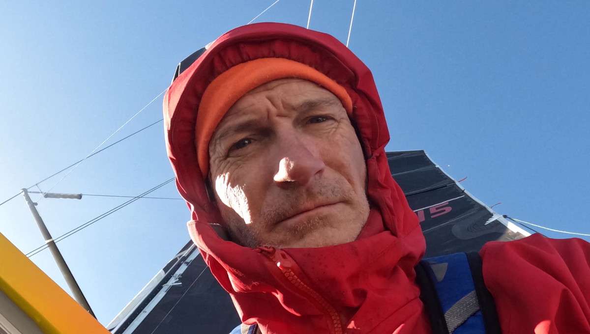
I joined in Port Lincoln in early February and signed off five weeks later, in Albany. The diagrams and table provide an overview of the ~1300 mile cruise, which involved 19 anchorages, 17 day sails and three two-night passages.
The winds were mostly 8 knots to 25kn generally free, nothing on the nose, reefing the main only once as a precaution approaching Albany at night in thunderstorms. Some of our lay days avoided sailing against briefly unfavourable winds.
Preparations
Sandy had thoroughly researched possible anchorages along the route, gleaning information from cruising blogs in particular. She had also downloaded many images from Google Earth (GE) converted to the .kap file format which can be automatically GPS-located on the free OpenCPN navigation software.
This allowed our position to be displayed on images showing the real, as opposed to sometimes inaccurately, charted shape and location of islands and anchorages. GE was also routinely useful in revealing patches of sand in weed-ridden anchorages.
Anchoring
Kelp abounds in cool waters, but grows on exposed rocky bottoms. At islands and roadsteads lacking rivers to deposit mud, anchors have the best chance of getting a reliable grip off a sandy beach. Especially if it can be dropped into an area visually clear of ribbon and other shorter weeds.
However, in this river-less area, sand is often just a thin veneer over rock: apparently secure when hooked and tested with the engine, but liable to let go if the wind swings, no matter what pattern of anchor is used.
The GPS anchor alarm gave us three rude awakenings. Re-anchoring at night benefitted from having recorded our pre-anchoring reconnoitring track.
The inhabited South Australian side of the Bight appeared desolate but, as in the west, the hinterland supports extensive farming of wheat and other crops. Grain and ore loading facilities were operating at several ports on both sides of the Bight. On both sides, fish seemed plentiful in the anchorages, especially squid, whiting, flathead and so-called Australian herring, aka Tommy Rough: small, but fat and tasty.
Western SA
As well as anchoring overnight in open bays like Point Sir Isaacs and Avoid, we visited three small towns at Coffin, Streaky and Venus bays, little more than fishing/holiday/retirement villages but well protected.
Fuel could be jerry-canned from service stations and we took on water from the jetty in Coffin Bay. Ceduna is somewhat larger with two supermarkets. It was our last restocking opportunity until Esperance, but water was not piped to the jetty.
Restrictions
Both the SA and WA ends of the Bight are studded with islands, many impressively rocky but rounded and eroded rather than craggy.
Some offer anchorages but, to protect the wildlife, landing without a permit is prohibited on many of them. So, for example, we did not even launch the tender at Pearson Island, anchoring off a beach where we could see large sealions challenging each other and scores of the much smaller females hauled out on the smooth granite rocks around the bay.
Sandy’s Canon Powershot SX720 camera, with its stabilised x40 optical zoom provided a far more detailed view than we could get through binoculars. Wallabies were also to be seen.
Davenport Creek in Tourville Bay, ~12 miles west of Ceduna, provided delightful and well-protected anchorage among sand dunes, fish, nesting cormorants and clouds of over-friendly mosquitos. Having re-enacted Lawrence of Arabia on the nearby sand dunes, we set off on the two night passage for Eucla; better documented than Lasseter’s Reef, but an act
of faith nonetheless.
Fabled Eucla
Eucla is marked on road maps but today the tiny settlement is little more than a refuelling stop for vehicles travelling across the Nullarbor.
It was established as a repeater station in the overland telegraph system around 1877, the derelict building and remains of a jetty built to support this remote outpost still exist. You would need a four wheel drive to reach the shore today.
Stopping at Eucla allows a yacht to break the Bight crossing itself into two passages, but there is a catch. Although Eucla Roads is mentioned on AUS4727 as the only known smallcraft refuge in the Bight, no plan is provided on any AUS chart. Sandy however had turned up information from sailing blogs which gave us confidence we would access the anchorage.
The first dawn of our leg from Davenport Creek was a beauty, including a green flash; but the later hours of the second night were decidedly uncomfortable: not enough breeze to heave to. So, rather than let the new radial cut, Walker sails slat in the swell we lay a-hull until daylight made it safer to approach. Daylight directions are shown in the sketch.
The roadstead is protected from swell and large waves by a broad reef and sandbanks, but is still completely open to any onshore wind. Even ten knots of SE breeze was joggly at high tide. Fishermen reported sometimes needing vehicles and winches to haul boats containing supplies and their catch through breakers.
Having inspected the ruins we got pretty wet relaunching the tender. After a good night’s rest we got the anchor up, confirmed the western exit was too shoal for a keel yacht and retraced our GPS track to sea. Only a 1½ night passage this time.
Daw Island
Daw Island, which is actually two, provides the easternmost anchorage in the Recherche Archipelago, but is not named on the chart.
We used the yacht Nine of cups’ waypoints to approach on the second night of this leg. These led north of an uncharted breaking rock about 2.3 miles NE, which is particularly dangerous because it lies about midway between two charted shoals!
But using GE and radar, both of which did show this rock, we crept into the anchorage under starlight around 2am. It is open to the north but otherwise offers good protection. Landing here requires a permit, but we did launch the tender to get closer views.
We exited using the channel between the islands, which was narrow but deep enough and afforded a David Attenborough moment in passing: a peek into what looked like a sealion crèche containing numerous cavorting pups and guarded by large males.
Before setting sail we inspected the west facing bay, protected from the north but around 20m deep with a rocky bottom. We anchored that afternoon behind Cape Arid and next morning slid down to an historically significant anchorage.
Middle Island
Goose Island Bay at Middle Island is where Mathew Flinders physically completed the very first Australian circumnavigation. Investigator anchored here in January 1802 and again in May 1803 as the only stop for the ailing crew between Kupang and Sydney. Here, as elsewhere on this cruise, many of the islands and shore features were named by, or for, early explorers; the French being prominent.
Middle was used as a base by whalers and sealers in the early 1800s and there are stonework ruins that may date to this period, plus a more recent wreck. Landing is allowed, but we could not locate the track to the pink lake via Flinders Peak.
Holding seemed poor and another change was predicted so, after a cuppa with John from Alibi, heading eastbound and our first cruising yacht we had seen since Port Lincoln, we set sail again passing through a large unsurveyed area on our way to anchor NW of Hammer Head, between Lorraine Island and the mainland.
Lorraine Island
This is a small, weedy and shallow anchorage but, in the absence of large swells, a very pleasant spot.
We swam and climbed Mt. Belches the next day. Only half the height of Uluru but affording splendid views of the Archipelago.
The wind backed to the east again overnight, allowing us to move on.
Lucky Bay
Volo anchored at the eastern end and we used the dinghy to land at the shallow western corner where the shore break was manageable.
There is a plaque commemorating Flinders naming of the bay and a National Parks campground. The track to nearby Thistle Bay passes around massive granite formations containing sculptured shallow caves, similar terrain to many of the islands offshore both sides of the Bight. The flowering native shrubs here were beautiful and, at the eastern end of Lucky Bay, there is another plaque, to Robert Brown who was Investigator’s botanist.
Esperance
Another easy day sail brought us to Esperance where we anchored just outside the yacht club’s breakwater, joining three eastbound cruising yachts. The town seemed prosperous and benefiting from foreshore redevelopment funded by mining royalties.
The local museum was cluttered but very interesting, with the substantial remains of Skylab, the early USA space station that ‘de-orbited’ onto the desert hereabout, contrasted with terrestrial relics including a steam locomotive and, from our world, a pilot cutter.
As a shipspotter I also enjoyed watching two grain ships depart from the wharf just 300m from Volo. While Toybox was out racing we occupied her berth to fill our water tanks to feed our habit of showers every second day, then departed.
Bremer Canyon
Approximately 25 miles SE of Bremer, various deep-sea canyons extend unusually close to the continental shelf. You may have seen an ABC documentary highlighting the frequent sighting of killer, sperm and other uncommon whales in the area.
Sandy had the co-ordinates of a known hotspot, well to the west of Bremer canyon, but Max planned our overnight sail so as to arrive at the easternmost canyon after dawn.
We spent daylight sailing a dog-legged course taking us over the steep slopes between the 2km contour and the shelf, passing near the heads of several canyons. Despite keeping a good lookout, we saw nothing but seabirds, including several types of Albatross. But when we eventually closed on that hotspot we found a tourist charter boat on location and VHF confirmed they had seen Orcas that morning.
The tourist boat set off for Bremer and we carried on into a mare’s tail sunset towards Albany.
Weather
Despite the often desert conditions inland, the cool sea brought pleasant daytime air temperature on most days. For immediate passage planning we relied on NOAA 8-day GRIB files because, unlike the BOM’s Meteye they can be downloaded and referred to later and superimposed on navigation chartware. They proved very reliable and, when planning this cruise, Max also studied the animated GRIB depiction of last summer’s winds on WindyTV. This is still a great site for visualising predicted weather developments but recently ceased allowing users to review past data. This is unfortunate because the traditional resource: Pilot charts, only provide monthly or quarterly noon averages over relatively large five degree squares, whereas GRIB data is at ¼ degrees, every three hours.
Telstra
Max resorted to HF e-mail a couple of times, but generally we just downloaded a fresh GRIB if we noticed the phones were getting a signal.
Along the west coast of SA and west of Cape Arid, Telstra 3G coverage was intermittent but adequate. We had reception within about 15 miles of Eucla. We even caught a GRIB in the eastern Recherche, but an external phone antenna would have made reception easier.
Autumn coming
At Venus and Coffin Bays and Lorraine Island, we waited while attenuated fronts went through. But our final leg, from Esperance, was timed to reach Albany ahead of a much stronger front, a sign the season was changing.
After initially anchoring off the town we relocated to a berth at the friendly Princess Royal Sailing Club, mainly so I could be sure of getting ashore to catch my flight despite the winds, which as predicted topped 40 knots.
Direct crossings
At PRSC we met up again with Luc Dupont, a French single-hander who, on Roxane a 10m Jeanneau Espace, cruised through the Northwest Passage the same years as our son Chris did with partner Jess on Teleport.
I had met Luc in Pittwater pre-Christmas since he had cruised here via Hobart and the Tassie west coast and a six day crossing of the Bight direct from Kangaroo Island to Middle Island in early February; about the same time it took
us on Starship going the other way in November.
He encountered just one front, winds returned to SE after a couple of hours. In 2017 Luc was about to sail for La Reunion and had to wait out a week of westerlies.
Max and Sandy plan to explore the Kimberley before returning to the east coast, probably via Albany and Hobart. ≈


